The Green Chain Walk
What is it?
The Green Chain Walk is a network of interconnected footpaths covering a distance of 82 Kilometres. It was created in 1977 as a way to protect the open spaces of the South-East London area and to prevent further building from taking place. The route consists of eleven sections extending from Erith in the East to Crystal Palace in the West. It connects the river Thames at the Thames Barrier to the suburbs of Bromley and Chislehurst.
The route travels through parks, woodlands and other green areas. Although there are sections of the route that follow roads, these are infrequent and the majority of the route is along off road paths.
What will you see?
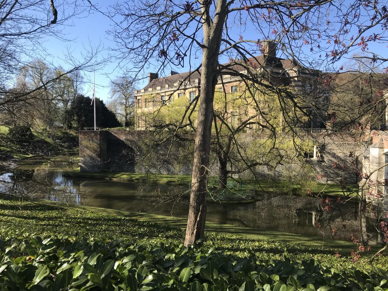
There are many sights to see along the route both natural and historical. These include the impressive Art Deco Eltham Palace (pictured), the Victorian dinosaur park of Crystal Palace, the Crossness nature reserve and Tarn bird sanctuary.
How do you navigate?
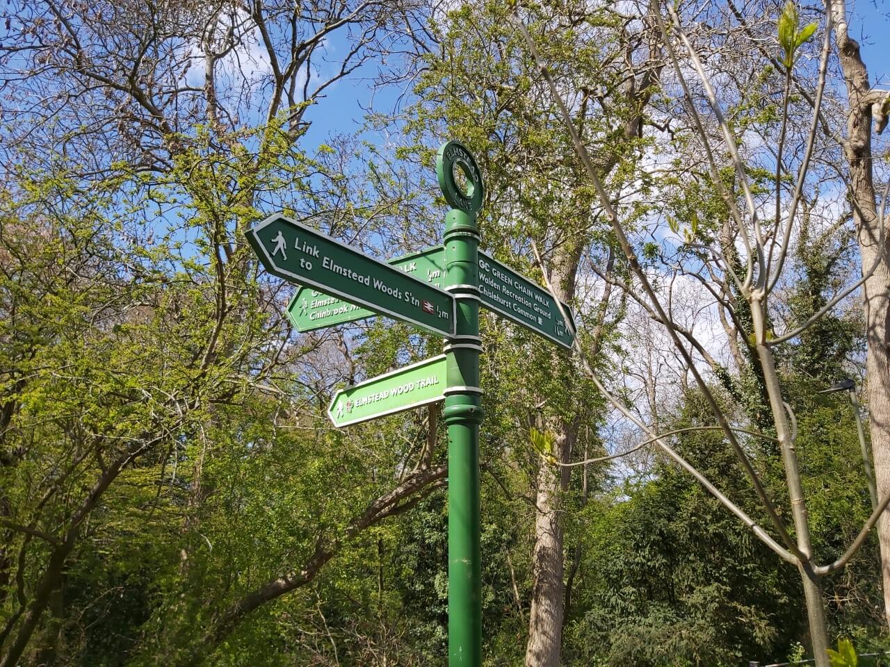
The route is navigated by green signposts (pictured) on streets and at major junctions and by signs on solid wooden posts with a yellow arrow on top in woodland or open spaces. The signs are easy to spot and located at every turn or deviation from the straight path or where the route may be confusing. When on the route there are occasions where there are turnings off the main path with no signs indicating the correct direction. In this situation the straight line path should always be followed. At some points the signposts do not point directly down the path to follow, possibly due to being moved, however they are close enough that the path to follow is usually clear.
Does it feel safe?
Although the route is never too far from roads or built up areas it can feel isolated in places and there are some stretches that clearly do not get regular use. It is not uncommon to walk some sections of the route without seeing many other people.
What are the route options?
The eleven sections of the route range in distance from 4.2 km to 8.7 km. They generally start and end near a public transport link, either bus or rail. A lot of the route is suitable for most abilities however, there are some steep sections particularly around Shooters Hill or on route to Crystal Palace. The sections are interconnected so can be tackled individually or combined for a longer walk.
A particular favourite of Suburban Walking's is to combine sections 6 and 7 into an 11.5 km curcular walk as shown on the map. This route passes the wonderful Eltham Palace, travels through Shepherdleas Wood and ventures past the Victorian winter garden of Avery Hill Park. It also visites the Tarn bird sanctuary. If feeling energetic it is well worth venturing a few miles into section 5 before turning back to enjoy Oxleas Wood and Meadows (a good coffee stop) and to visit the gothic folly of Severndroog Castle which can be climbed for views over the area.
For more information on the route visit the TFL website.